Snow depth increase and snow water equivalence increase
SNOW SURVEY READINGS for 2025-2026 Season
Snow survey measurements show a snow depth increase of 2.7 cm, and snow water equivalence increase of 47.3 mm from the last survey on February 17, reports the North Bay-Mattawa Conservation Authority (NBMCA) who measures snow depth and water content as part of its Flood Forecasting and Warning Program.
“Snow survey results show that average snow depth across all three stations is currently 62.1 cm, with snow water equivalent measuring 139 mm (comparable to 2025); however, with above-zero temperatures forecast over the next 10 days, snow depth is expected to decrease while snow water equivalent may increase as the snowpack settles and becomes denser,” said Angela Mills, NBMCA Water Resources Specialist. “We will be conducting snow surveys on a weekly basis moving forward to closely monitor changing conditions as part of our Flood Forecast and Warning program,” she added.
A Snow Survey page on our website is available with more snow survey program information and this season's measurements. https://nbmca.ca/watershed-management/snow-survey/
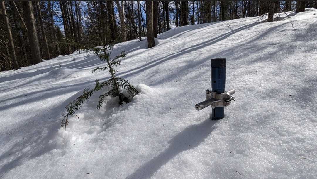
Snow is measured for depth and water equivalence at three locations in the watershed.
Table 1: North Bay Golf and Country Club (Chippewa Creek Watershed, North Bay)
|
Current Snow Depth for March 2, 2026 |
64.6 cm (above normal) |
|
Current Snow Water Equivalence for March 2, 2026 |
162.0 mm (above normal) |
|
Snow Depth last year for February 28, 2025 |
51.4 cm |
|
Normal Snow Depth |
36.3 cm – 63.2 cm |
|
Highest recorded snow depth for early March since
2013* |
84.1 cm in 2019 |
*Data prior to Dec. 2011 from the former Northeast Mental Health Centre, Hwy 11
Table 2: Corbeil Conservation Area (La Vase River Watershed, Corbeil)
|
Current
Snow Depth for March 2, 2026 |
58.8 cm
(normal) |
|
Current
Snow Water Equivalence for March 2, 2026 |
124.0
mm (normal) |
|
Snow
Depth last year for February 28, 2025 |
45.1 cm |
|
Normal Snow Depth |
41.1 cm – 63.6 cm |
|
Highest recorded snow depth for early March since
1988 |
98.6 cm in 1997 |
Table 3: Shirley Skinner Conservation Area (Kaibuskong River Watershed, Chisholm)
|
Current Snow Depth for March 2, 2026 |
62.9 cm (above normal) |
|
Current Snow Water Equivalence for March 2, 2026 |
131.0 mm (above normal) |
|
Snow Depth last year for February 28, 2025 |
49.9 cm |
|
Normal Snow Depth |
47.0 cm – 60.2 cm |
|
Highest recorded snow depth for early March since
2007 |
83.9 cm in 2019 |