
Snow depth increase of 9.9 cm
Snow survey measurements show a snow depth increase of 9.9 cm, and snow water equivalence increase of 39.7 mm from the last survey on March 9, reports the North Bay-Mattawa Conservation Authority (NBMCA) who measures snow depth and water content as part of its Flood Forecasting and Warning Program.
“Snow survey results show that average snow depth across all three stations is currently 49.0 cm, with snow water equivalent measuring 147.3 mm (comparable to 2025),” said Angela Mills, Water Resources Specialist. “The snow and rain event over the weekend has led to increased snow depth and water content across all monitoring sites. Although snow depth has been gradually declining since reaching its seasonal peak on March 2, the amount of water contained within the snowpack is now at its highest level of the season,” she added.

A Snow Survey page on our website is available with more snow survey program information and this season's measurements. https://nbmca.ca/watershed-management/snow-survey/
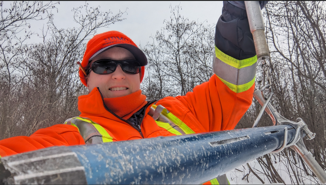
Snow is measured for depth and water equivalence at three locations in the watershed. NBMCA is now measuring the snowpack weekly, to monitor conditions leading up to and during the spring freshet.
Table 1: North Bay Golf and Country Club (Chippewa Creek Watershed, North Bay)
|
Current Snow Depth for March
18, 2026 |
47.7 cm normal) |
|
Current Snow Water
Equivalence for March 18, 2026 |
171.0 mm (above normal)
|
|
Snow Depth last year for March
14, 2025 |
55.3 cm |
|
Normal Snow Depth |
27.1 cm – 56.2 cm |
|
Highest recorded snow depth
for mid-March since 2013* |
95.3 cm in 2019 |
*Data prior to Dec. 2011 from the former Northeast Mental Health Centre, Hwy 11
Table 2: Corbeil Conservation Area (La Vase River Watershed, Corbeil)
|
Current
Snow Depth for March 18, 2026 |
48.1
cm (normal) |
|
Current
Snow Water Equivalence for March 18, 2026 |
135.0
mm (normal) |
|
Snow
Depth last year for March 14, 2025 |
50.0
cm |
|
Normal Snow Depth |
31.6 cm – 57.5 cm |
|
Highest recorded snow depth
for mid-March since 1988 |
90.2 cm in 2001 |
Table 3: Shirley Skinner Conservation Area (Kaibuskong River Watershed, Chisholm)
|
Current Snow Depth for March
18, 2026 |
51.3 cm (above normal) |
|
Current Snow Water
Equivalence for March 18, 2026 |
136.0 mm (normal) |
|
Snow Depth last year for March
14, 2025 |
50.3 cm |
|
Normal Snow Depth |
40.0 cm – 51.0 cm |
|
Highest recorded snow depth
for mid-March since 2007 |
87.2 cm in 2019 |
The North Bay-Mattawa Conservation Authority (NBMCA) was founded in 1972 by the Province of Ontario. NBMCA is one of 36 Conservation Authorities in Ontario responsible for watershed management on behalf of local municipalities, stakeholders, and the province.
The public can follow NBMCA on the web at nbmca.ca, on X (Twitter) (@theNBMCA), Facebook (@theNBMCA) and Instagram (nbmcainfo).
For more information, contact:
Angela Mills, Water Resources Specialist (705) 497-4668
Paula Loranger, Community Relations Coordinator (705) 494-5115